Movie: Setley Pond, an Industrial Landscape
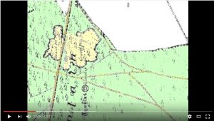
Setley Pond is the lowest, flooded area of an historical gravel pit. The sequence of images below trace the development of the gravel pit and, eventually pond, as shown in historic maps. Click on each thumbnail for the full image and an explanation.
Alternatively you can view our movie “Setley Pond – The Story of an Industrial Landscape”.
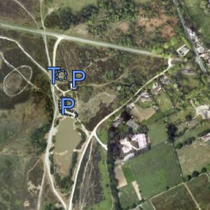
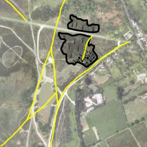
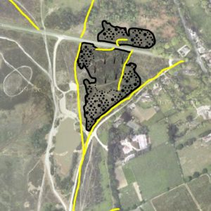
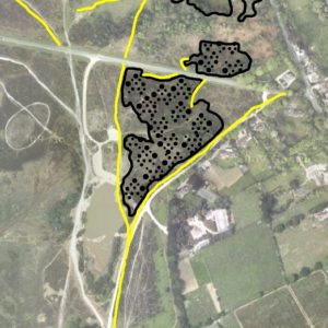
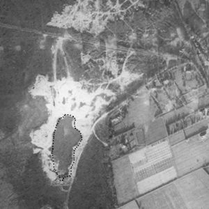
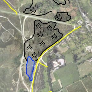
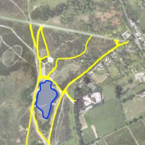
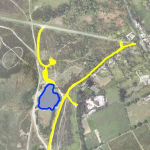
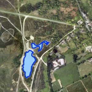
(Information based on OS maps: year (scale, inches to 1mile)… 1868 (2.5″), 1871 (6″), 1897 (2.5″), 1898 (6″), 1909 (2.5″), 1910 (6″), 1919 (1″), 1930 (1″), 1962-63 (6″), 1970-72 (2.5″), 1972-74 (6.25″), 1972-94 (6.25″), 2004 (2.5″). The background photo is © Google 2011. Thanks to Richard Reeves, Librarian at the New Forest Centre, Lyndhurst, for some of the data)